Creation of 2D map with a drone
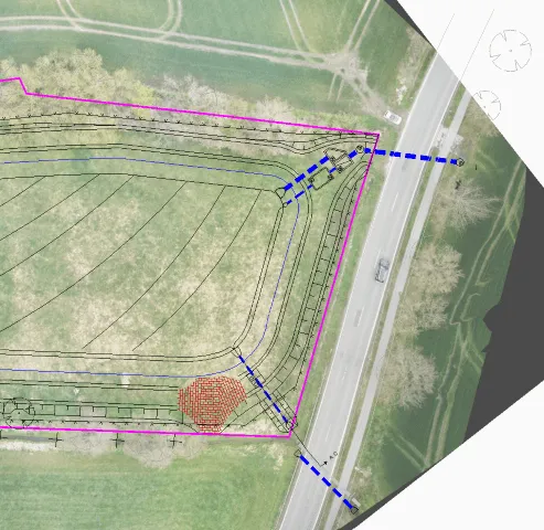
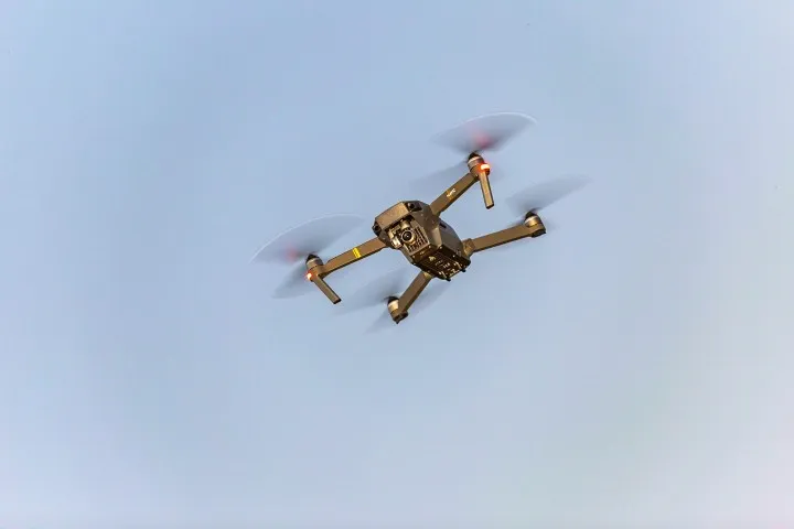
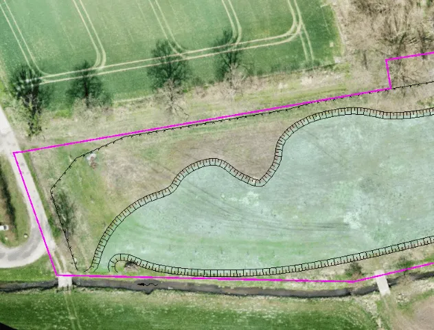
At the beginning of any planning, a precise inventory is essential. Especially in the case of large areas, this can become confusing on site. At LEHNE ing. that’s why we rely on the creation of a 2D map from image material from our drone and suitable rendering software. This means that current inventories are available for preliminary planning.
Furthermore, during the execution, the construction progress for the local construction supervision can be documented very clearly with the regular creation of aerial maps.